 vesseltracker.com
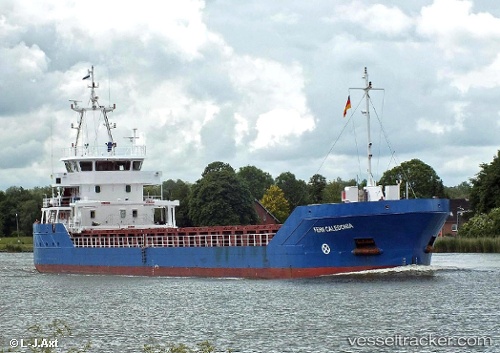
 NAOMI B
Current Status
Where is the vessel?
NAOMI B is currently in Near CORIGLIANO CALABRO, based on AIS data received about 1h ago.
Latest AIS update:
Current position: 39.66179° N, 16.52843° E (Near CORIGLIANO CALABRO)
Average speed (last 7 days): Loading…
Average speed (last 30 days): Loading…
Vessel profile: NAOMI B is a General Cargo Ship with dimensions 88m x 88m.
This page combines live AIS, route history, probable destination signals, nearby traffic, and port activity for practical vessel monitoring.
The current position of vessel NAOMI B is 39.66179 lat / 16.52843 lng. Updated: 2026-05-14 14:06:27 UTCNearest reference points:
- Near CORIGLIANO CALABRO
- Near Marina di Ginosa
- 10 nm W of Paola
Currently sailing under the flag of Cyprus ![]()
NAOMI B built in 2013 year
Deadweight:
2589 tDetails:
Live Vessel NAOMI B Analytics (details, animations, etc.)
Recent AIS points (UTC):
2026-05-14 10:42:30 UTC · 39.66184, 16.52840 · SOG 0 kn · COG 345°2026-05-14 11:39:28 UTC · 39.66185, 16.52844 · SOG 0 kn · COG 345°
2026-05-14 13:45:27 UTC · 39.66178, 16.52839 · SOG 0 kn · COG 345°
2026-05-14 14:06:27 UTC · 39.66179, 16.52843 · SOG 0 kn · COG 345°