 vesseltracker.com
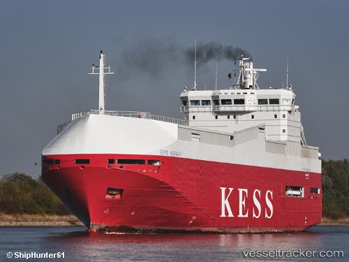
 Ems Highway
Current Status
Where is the vessel?
Ems Highway is currently in 13 nm E of Neuendorf-Hiddensee, based on AIS data received less than 1h ago.
Latest AIS update:
Current position: 54.99689° N, 13.85923° E (13 nm E of Neuendorf-Hiddensee)
Average speed (last 7 days): Loading…
Average speed (last 30 days): Loading…
Vessel profile: Ems Highway is a Vehicles Carrier with dimensions 100m x 100m.
This page combines live AIS, route history, probable destination signals, nearby traffic, and port activity for practical vessel monitoring.
The current position of vessel Ems Highway is 54.99689 lat / 13.85923 lng. Updated: 2026-05-15 13:09:07 UTCNearest reference points:
- Near SASSNITZ
- Near Glowe
- Near Breege
Currently sailing under the flag of Cyprus ![]()
Ems Highway built in 1999 year
Deadweight:
3414 tDetails:
Live Vessel Ems Highway Analytics (details, animations, etc.)
Recent AIS points (UTC):
2026-05-15 10:01:36 UTC · 54.86483, 15.13195 · SOG 14.7 kn · COG 275°2026-05-15 10:16:29 UTC · 54.86819, 15.02776 · SOG 14.6 kn · COG 273°
2026-05-15 11:44:06 UTC · 54.91336, 14.42342 · SOG 14.6 kn · COG 281°
2026-05-15 13:09:07 UTC · 54.99689, 13.85923 · SOG 14.1 kn · COG 296°