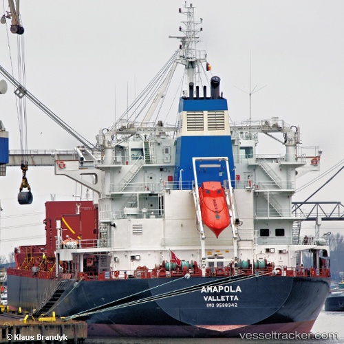
 Amapola
Current Status
Where is the vessel?
Amapola is currently in Near Puerto San José, based on AIS data received about 14h ago.
Latest AIS update:
Current position: 13.89570° N, 90.78350° W (Near Puerto San José)
Average speed (last 7 days): Loading…
Average speed (last 30 days): Loading…
Vessel profile: Amapola is a Bulk Carrier with dimensions 180m x 180m.
This page combines live AIS, route history, probable destination signals, nearby traffic, and port activity for practical vessel monitoring.
The current position of vessel Amapola is 13.8957 lat / -90.7835 lng. Updated: 2026-06-26 11:19:45 UTCNearest reference points:
- Near San Jose
Currently sailing under the flag of Malta ![]()
Amapola built in 2011 year
Deadweight:
33997 tDetails:
Live Vessel Amapola Analytics (details, animations, etc.)
Recent AIS points (UTC):
2026-06-26 07:22:45 UTC · 13.89670, -90.78370 · SOG 0.4 kn · COG 100°2026-06-26 07:31:44 UTC · 13.89660, -90.78370 · SOG 0.4 kn · COG 93°
2026-06-26 10:07:45 UTC · 13.89540, -90.78320 · SOG 0.2 kn · COG 57°
2026-06-26 11:19:45 UTC · 13.89570, -90.78350 · SOG 0.2 kn · COG 76°