 vesseltracker.com
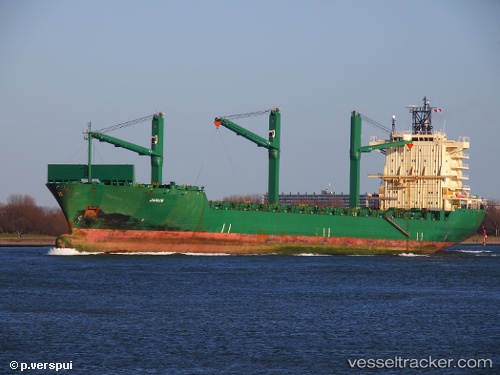
 Cinzia A
Current Status
Where is the vessel?
Cinzia A is currently in Near Delimara, based on AIS data received less than 1h ago.
Latest AIS update:
Current position: 35.81830° N, 14.54190° E (Near Delimara)
Average speed (last 7 days): Loading…
Average speed (last 30 days): Loading…
Vessel profile: Cinzia A is a Container Ship with dimensions 200m x 30m.
This page combines live AIS, route history, probable destination signals, nearby traffic, and port activity for practical vessel monitoring.
The current position of vessel Cinzia A is 35.8183 lat / 14.5419 lng. Updated: 2026-05-16 15:34:57 UTCNearest reference points:
- Near Floriana
- Near Birgu (Vittoriosa)
- Near Valletta
Currently sailing under the flag of Malta ![]()
Cinzia A built in 2001 year
Deadweight:
33894 tDetails:
Live Vessel Cinzia A Analytics (details, animations, etc.)
Recent AIS points (UTC):
2026-05-16 12:16:55 UTC · 35.81820, 14.54200 · SOG 0 kn · COG 136°2026-05-16 13:58:53 UTC · 35.81840, 14.54190 · SOG 0 kn · COG 136°
2026-05-16 14:04:55 UTC · 35.81840, 14.54190 · SOG 0 kn · COG 136°
2026-05-16 15:34:57 UTC · 35.81830, 14.54190 · SOG 0 kn · COG 136°