 WATTENLAEUFER
Current Status
Where is the vessel?
WATTENLAEUFER is currently in Near BUESUM, based on AIS data received about 14h ago.
Latest AIS update:
Current position: 54.12640° N, 8.86476° E (Near BUESUM)
Average speed (last 7 days): Loading…
Average speed (last 30 days): Loading…
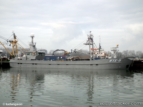
Vessel profile: WATTENLAEUFER is a Fishing with dimensions m x m.
This page combines live AIS, route history, probable destination signals, nearby traffic, and port activity for practical vessel monitoring.
The current position of vessel WATTENLAEUFER is 54.1264 lat / 8.86476 lng. Updated: 2026-07-19 03:57:36 UTCNearest reference points:
- Near BUESUM
- Near Kiel Canal
- Near Bremerhaven
Currently sailing under the flag of Germany ![]()
Details:
Live Vessel WATTENLAEUFER Analytics (details, animations, etc.)
Recent AIS points (UTC):
2026-07-19 00:15:27 UTC · 54.12650, 8.86474 · SOG 0 kn · COG 235°2026-07-19 01:23:26 UTC · 54.12640, 8.86472 · SOG 0 kn · COG 235°
2026-07-19 01:27:17 UTC · 54.12640, 8.86474 · SOG 0 kn · COG 235°
2026-07-19 03:57:36 UTC · 54.12640, 8.86476 · SOG 0 kn · COG 235°