 FORTUNA B
Current Status
Where is the vessel?
FORTUNA B is currently in 49 nm N of Town Quays/Drogheda, based on AIS data received about 14h ago.
Latest AIS update:
Current position: 54.51354° N, 5.98774° E (49 nm N of Town Quays/Drogheda)
Average speed (last 7 days): Loading…
Average speed (last 30 days): Loading…
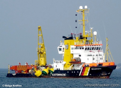
Vessel profile: FORTUNA B is a Pollution Control Vessel with dimensions m x m.
This page combines live AIS, route history, probable destination signals, nearby traffic, and port activity for practical vessel monitoring.
The current position of vessel FORTUNA B is 54.51354 lat / 5.98774 lng. Updated: 2026-06-24 16:17:03 UTCNearest reference points:
- 14 nm NW of Town Quays/Drogheda
- Near Borkum
- Near Hempens
Currently sailing under the flag of Denmark ![]()
Details:
Live Vessel FORTUNA B Analytics (details, animations, etc.)
Recent AIS points (UTC):
2026-06-24 13:47:53 UTC · 54.41150, 5.51881 · SOG 0 kn · COG 169°2026-06-24 13:49:24 UTC · 54.41150, 5.51881 · SOG 0 kn · COG 168°
2026-06-24 15:26:23 UTC · 54.45541, 5.72962 · SOG 11.5 kn · COG 66°
2026-06-24 16:17:03 UTC · 54.51354, 5.98774 · SOG 11.4 kn · COG 65°