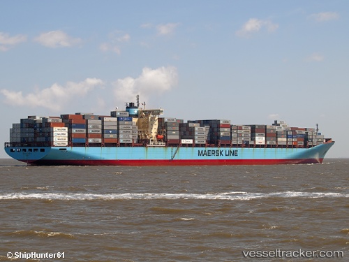
Skagen Maersk
Current StatusWhere is the vessel?
Skagen Maersk is currently in Near Panama, based on AIS data received about 14h ago.
Latest AIS update:
Current position: 8.85894° N, 79.48649° W (Near Panama)
Average speed (last 7 days): Loading…
Average speed (last 30 days): Loading…
Vessel profile: Skagen Maersk is a Container Ship with dimensions 43m x 347m.
This page combines live AIS, route history, probable destination signals, nearby traffic, and port activity for practical vessel monitoring.
The current position of vessel Skagen Maersk is 8.85894 lat / -79.48649 lng. Updated: 2026-06-01 03:56:30 UTCNearest reference points:
- Near Panama
- Near El Chorrillo
- Near Melones
Details:
Live Vessel Skagen Maersk Analytics (details, animations, etc.)
Recent AIS points (UTC):
2026-05-31 23:12:34 UTC · 8.07618, -79.36793 · SOG 12.3 kn · COG 2°2026-06-01 01:23:20 UTC · 8.52479, -79.36445 · SOG 12 kn · COG 358°
2026-06-01 01:50:10 UTC · 8.61191, -79.37461 · SOG 11.1 kn · COG 346°
2026-06-01 03:56:30 UTC · 8.85894, -79.48649 · SOG 1.8 kn · COG 271°