 vesseltracker.com
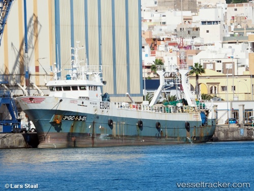
Farruco
Current StatusWhere is the vessel?
Farruco is currently in 231 nm E of Puerto Deseado, based on AIS data received about 1h ago.
Latest AIS update:
Current position: 46.44486° S, 60.59502° W (231 nm E of Puerto Deseado)
Average speed (last 7 days): Loading…
Average speed (last 30 days): Loading…
Vessel profile: Farruco is a Fishing Vessel with dimensions 10m x 52m.
This page combines live AIS, route history, probable destination signals, nearby traffic, and port activity for practical vessel monitoring.
The current position of vessel Farruco is -46.44486 lat / -60.59502 lng. Updated: 2026-04-24 16:09:52 UTCDetails:
Live Vessel Farruco Analytics (details, animations, etc.)
Recent AIS points (UTC):
2026-04-24 13:50:01 UTC · -46.62388, -60.60645 · SOG 4.5 kn · COG 20°2026-04-24 13:54:00 UTC · -46.61925, -60.60366 · SOG 4.5 kn · COG 23°
2026-04-24 15:53:53 UTC · -46.46542, -60.59391 · SOG 5.2 kn · COG 336°
2026-04-24 16:09:52 UTC · -46.44486, -60.59502 · SOG 4.5 kn · COG 1°