 vesseltracker.com
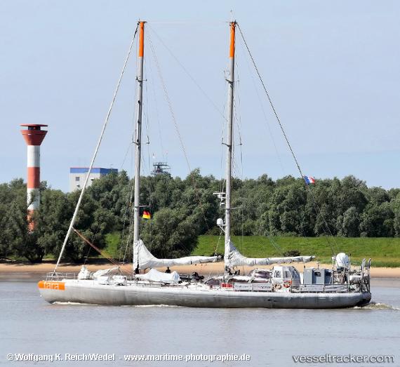
Tara
Current StatusWhere is the vessel?
Tara is currently in 266 nm N of Lombrum, based on AIS data received less than 1h ago.
Latest AIS update:
Current position: 2.31557° N, 146.54668° E (266 nm N of Lombrum)
Average speed (last 7 days): Loading…
Average speed (last 30 days): Loading…
Vessel profile: Tara is a Research Vessel with dimensions 10m x 35m.
This page combines live AIS, route history, probable destination signals, nearby traffic, and port activity for practical vessel monitoring.
The current position of vessel Tara is 2.31557 lat / 146.54668 lng. Updated: 2026-05-14 06:10:36 UTCNearest reference points:
- 132 nm N of Lombrum
Details:
Live Vessel Tara Analytics (details, animations, etc.)
Recent AIS points (UTC):
2026-05-14 01:52:20 UTC · 2.63854, 146.37210 · SOG 5.2 kn · COG 150°2026-05-14 04:06:08 UTC · 2.47138, 146.45709 · SOG 5 kn · COG 146°
2026-05-14 04:21:42 UTC · 2.45243, 146.46738 · SOG 5 kn · COG 141°
2026-05-14 06:10:36 UTC · 2.31557, 146.54668 · SOG 5.5 kn · COG 144°