 vesseltracker.com
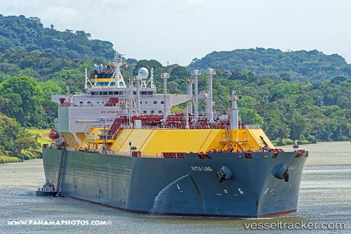
 Kita Lng
Current Status
Where is the vessel?
Kita Lng is currently in 60 nm N of Kitadaito Apt, based on AIS data received about 1h ago.
Latest AIS update:
Current position: 26.86167° N, 131.70332° E (60 nm N of Kitadaito Apt)
Average speed (last 7 days): Loading…
Average speed (last 30 days): Loading…
Vessel profile: Kita Lng is a Lng Tanker with dimensions 294m x 294m.
This page combines live AIS, route history, probable destination signals, nearby traffic, and port activity for practical vessel monitoring.
The current position of vessel Kita Lng is 26.86167 lat / 131.70332 lng. Updated: 2026-04-27 19:39:58 UTCNearest reference points:
- 107 nm NE of Kitadaito Apt
Currently sailing under the flag of Malta ![]()
Details:
Live Vessel Kita Lng Analytics (details, animations, etc.)
Recent AIS points (UTC):
2026-04-27 16:00:56 UTC · 27.42667, 132.22166 · SOG 11 kn · COG -1°2026-04-27 17:45:56 UTC · 27.17667, 131.96333 · SOG 12 kn · COG -1°
2026-04-27 19:15:01 UTC · 26.92792, 131.76474 · SOG 12.1 kn · COG 226°
2026-04-27 19:39:58 UTC · 26.86167, 131.70332 · SOG 12 kn · COG -1°