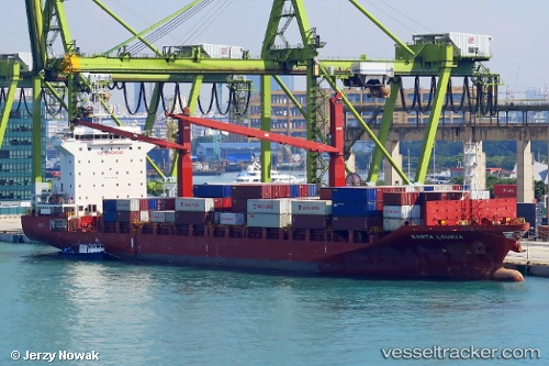
 Santa Loukia
Current Status
Where is the vessel?
Santa Loukia is currently in 19 nm SW of Cox's Bazar, based on AIS data received about 15h ago.
Latest AIS update:
Current position: 21.24990° N, 91.70118° E (19 nm SW of Cox's Bazar)
Average speed (last 7 days): Loading…
Average speed (last 30 days): Loading…
Vessel profile: Santa Loukia is a Container Ship with dimensions 172m x 172m.
This page combines live AIS, route history, probable destination signals, nearby traffic, and port activity for practical vessel monitoring.
The current position of vessel Santa Loukia is 21.24990 lat / 91.70118 lng. Updated: 2026-06-04 10:30:37 UTCNearest reference points:
- 23 nm NW of Cox's Bazar
- 36 nm SE of Cox's Bazar
- Near Chittagong
Currently sailing under the flag of Malta ![]()
Details:
Live Vessel Santa Loukia Analytics (details, animations, etc.)
Recent AIS points (UTC):
2026-06-04 07:10:28 UTC · 21.96147, 91.70787 · SOG 10.9 kn · COG 185°2026-06-04 08:11:28 UTC · 21.76744, 91.68545 · SOG 12 kn · COG 190°
2026-06-04 09:54:57 UTC · 21.38751, 91.69758 · SOG 13.7 kn · COG 178°
2026-06-04 10:30:37 UTC · 21.24990, 91.70118 · SOG 13.8 kn · COG 178°