 ECOWIND
Current Status
Where is the vessel?
ECOWIND is currently in Near La Línea de la Concepción, based on AIS data received about 14h ago.
Latest AIS update:
Current position: 36.15651° N, 5.37465° W (Near La Línea de la Concepción)
Average speed (last 7 days): Loading…
Average speed (last 30 days): Loading…
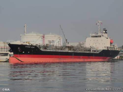
Vessel profile: ECOWIND is a Tanker with dimensions m x m.
This page combines live AIS, route history, probable destination signals, nearby traffic, and port activity for practical vessel monitoring.
The current position of vessel ECOWIND is 36.15651 lat / -5.37465 lng. Updated: 2026-08-01 11:35:16 UTCNearest reference points:
- Near La Línea de la Concepción
- Near Waterport
- Near Palmones
Currently sailing under the flag of Gibraltar ![]()
Details:
Live Vessel ECOWIND Analytics (details, animations, etc.)
Recent AIS points (UTC):
2026-08-01 07:56:13 UTC · 36.15641, -5.37676 · SOG 0.3 kn · COG 63°2026-08-01 09:26:13 UTC · 36.15687, -5.37689 · SOG 0 kn · COG 102°
2026-08-01 10:02:13 UTC · 36.15585, -5.37594 · SOG 0.1 kn · COG 15°
2026-08-01 11:35:16 UTC · 36.15651, -5.37465 · SOG 0 kn · COG 295°