 vesseltracker.com
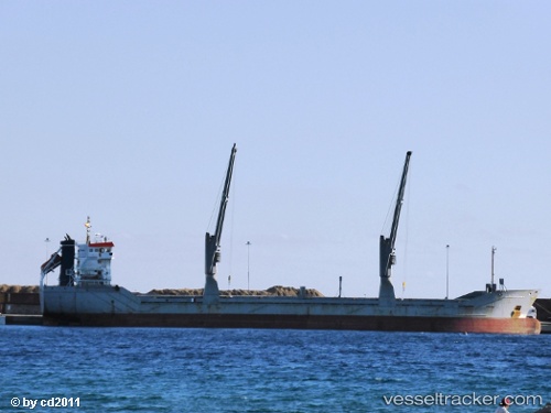
 AASTIND
Current Status
Where is the vessel?
AASTIND is currently in 33 nm NW of Pierowall, Westray, based on AIS data received less than 1h ago.
Latest AIS update:
Current position: 59.69452° N, 3.78090° W (33 nm NW of Pierowall, Westray)
Average speed (last 7 days): Loading…
Average speed (last 30 days): Loading…
Vessel profile: AASTIND is a General Cargo Ship with dimensions 116m x 16m.
This page combines live AIS, route history, probable destination signals, nearby traffic, and port activity for practical vessel monitoring.
The current position of vessel AASTIND is 59.69452 lat / -3.78090 lng. Updated: 2026-05-15 19:25:55 UTCNearest reference points:
- Near STROMNESS
- Near Tingwall
- 36 nm NW of Ham Voe, Foula
Currently sailing under the flag of Gibraltar ![]()
AASTIND built in 1997 year
Deadweight:
8130 tDetails:
Live Vessel AASTIND Analytics (details, animations, etc.)
Recent AIS points (UTC):
2026-05-15 15:35:35 UTC · 59.36195, -4.34688 · SOG 6 kn · COG 38°2026-05-15 15:35:35 UTC · 59.36195, -4.34688 · SOG 6 kn · COG 38°
2026-05-15 17:31:15 UTC · 59.52466, -4.07065 · SOG 7.3 kn · COG 34°
2026-05-15 19:25:55 UTC · 59.69452, -3.78090 · SOG 7.4 kn · COG 40°