 Platytera
Current Status
Where is the vessel?
Platytera is currently in Near Kalochori, based on AIS data received about 14h ago.
Latest AIS update:
Current position: 40.62508° N, 22.88640° E (Near Kalochori)
Average speed (last 7 days): Loading…
Average speed (last 30 days): Loading…
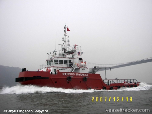
Vessel profile: Platytera is a Offshore Tug Supply Ship with dimensions 40m x 12m.
This page combines live AIS, route history, probable destination signals, nearby traffic, and port activity for practical vessel monitoring.
The current position of vessel Platytera is 40.62508 lat / 22.88640 lng. Updated: 2026-05-21 19:37:33 UTCNearest reference points:
- Near Ammoulianí
- Near Agriá
- Near Volos
Currently sailing under the flag of Greece ![]()
Platytera built in 2007 year
Details:
Live Vessel Platytera Analytics (details, animations, etc.)
Recent AIS points (UTC):
2026-05-21 16:23:43 UTC · 40.62505, 22.88687 · SOG 0 kn · COG 138°2026-05-21 17:50:33 UTC · 40.62502, 22.88669 · SOG 0 kn · COG 159°
2026-05-21 19:15:23 UTC · 40.62502, 22.88631 · SOG 0 kn · COG 191°
2026-05-21 19:37:33 UTC · 40.62508, 22.88640 · SOG 0 kn · COG 195°