 Stella Virgo
Current Status
Where is the vessel?
Stella Virgo is currently in 223 nm NW of Crevedia, based on AIS data received about 14h ago.
Latest AIS update:
Current position: 47.09333° N, 29.89667° W (223 nm NW of Crevedia)
Average speed (last 7 days): Loading…
Average speed (last 30 days): Loading…
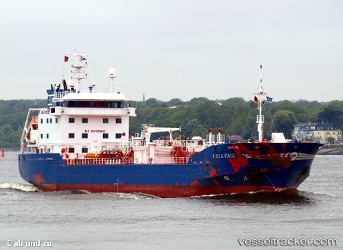
Vessel profile: Stella Virgo is a Chemical Tanker with dimensions 104m x 16m.
This page combines live AIS, route history, probable destination signals, nearby traffic, and port activity for practical vessel monitoring.
The current position of vessel Stella Virgo is 47.09333 lat / -29.89667 lng. Updated: 2026-06-17 07:27:37 UTCCurrently sailing under the flag of Netherlands ![]()
Stella Virgo built in 2003 year
Deadweight:
4999 tDetails:
Live Vessel Stella Virgo Analytics (details, animations, etc.)
Recent AIS points (UTC):
2026-06-17 04:12:06 UTC · 47.27333, -29.13333 · SOG 10 kn · COG -1°2026-06-17 04:27:10 UTC · 47.25833, -29.19167 · SOG 11 kn · COG -1°
2026-06-17 06:02:23 UTC · 47.17049, -29.56532 · SOG 10.4 kn · COG 250°
2026-06-17 07:27:37 UTC · 47.09333, -29.89667 · SOG 10 kn · COG -1°