 vesseltracker.com
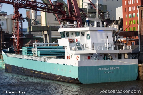
 Marietje Hester
Current Status
Where is the vessel?
Marietje Hester is currently in 17 nm NW of Nykobing Sjaelland, based on AIS data received less than 1h ago.
Latest AIS update:
Current position: 56.11448° N, 11.30456° E (17 nm NW of Nykobing Sjaelland)
Average speed (last 7 days): Loading…
Average speed (last 30 days): Loading…
Vessel profile: Marietje Hester is a General Cargo Ship with dimensions 83m x 12m.
This page combines live AIS, route history, probable destination signals, nearby traffic, and port activity for practical vessel monitoring.
The current position of vessel Marietje Hester is 56.11448 lat / 11.30456 lng. Updated: 2026-04-30 21:57:14 UTCNearest reference points:
- Near Eskebjerg
- Near Grena
- Near Kalundborg
Currently sailing under the flag of Netherlands ![]()
Marietje Hester built in 2005 year
Deadweight:
3200 tDetails:
Live Vessel Marietje Hester Analytics (details, animations, etc.)
Recent AIS points (UTC):
2026-04-30 17:45:12 UTC · 55.74450, 10.52810 · SOG 8.4 kn · COG 73°2026-04-30 19:34:12 UTC · 55.88355, 10.91087 · SOG 8.9 kn · COG 30°
2026-04-30 19:58:32 UTC · 55.92821, 10.97829 · SOG 8.7 kn · COG 43°
2026-04-30 21:57:14 UTC · 56.11448, 11.30456 · SOG 8.5 kn · COG 82°