 vesseltracker.com
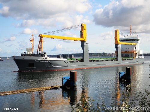
 Trent Navigator
Current Status
Where is the vessel?
Trent Navigator is currently in 22 nm SW of Karatas, based on AIS data received less than 1h ago.
Latest AIS update:
Current position: 36.28835° N, 35.05932° E (22 nm SW of Karatas)
Average speed (last 7 days): Loading…
Average speed (last 30 days): Loading…
Vessel profile: Trent Navigator is a General Cargo Ship with dimensions 118m x 16m.
This page combines live AIS, route history, probable destination signals, nearby traffic, and port activity for practical vessel monitoring.
The current position of vessel Trent Navigator is 36.28835 lat / 35.05932 lng. Updated: 2026-05-14 21:35:46 UTCNearest reference points:
- Near Mersin
- Near Mersin-Free Zone
- 13 nm W of Iskenderun
Currently sailing under the flag of Netherlands ![]()
Trent Navigator built in 2013 year
Deadweight:
8096 tDetails:
Live Vessel Trent Navigator Analytics (details, animations, etc.)
Recent AIS points (UTC):
2026-05-14 18:23:16 UTC · 36.13423, 34.23107 · SOG 13.2 kn · COG 78°2026-05-14 19:41:06 UTC · 36.19658, 34.56600 · SOG 12.7 kn · COG 77°
2026-05-14 19:49:07 UTC · 36.20293, 34.60005 · SOG 12.6 kn · COG 76°
2026-05-14 21:35:46 UTC · 36.28835, 35.05932 · SOG 12.7 kn · COG 76°