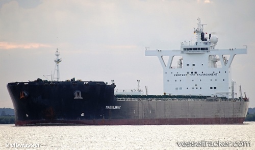
 MARIJEANNIE C
Current Status
Where is the vessel?
MARIJEANNIE C is currently in 373 nm SW of Tsiombe, based on AIS data received about 14h ago.
Latest AIS update:
Current position: 29.73488° S, 40.57810° E (373 nm SW of Tsiombe)
Average speed (last 7 days): Loading…
Average speed (last 30 days): Loading…
Vessel profile: MARIJEANNIE C is a Bulk Carrier with dimensions m x m.
This page combines live AIS, route history, probable destination signals, nearby traffic, and port activity for practical vessel monitoring.
The current position of vessel MARIJEANNIE C is -29.73488 lat / 40.57810 lng. Updated: 2026-06-22 13:23:40 UTCNearest reference points:
- Open sea, approx. 400 nm off the nearest listed port
- Open sea, approx. 401 nm off the nearest listed port
- Open sea, approx. 402 nm off the nearest listed port
Currently sailing under the flag of Malta ![]()
Details:
Live Vessel MARIJEANNIE C Analytics (details, animations, etc.)
Recent AIS points (UTC):
2026-06-22 07:34:49 UTC · -30.29500, 39.49223 · SOG 11.3 kn · COG 60°2026-06-22 10:57:07 UTC · -29.96843, 40.12277 · SOG 11.4 kn · COG 59°
2026-06-22 12:15:51 UTC · -29.84568, 40.37260 · SOG 11.2 kn · COG 56°
2026-06-22 13:23:40 UTC · -29.73488, 40.57810 · SOG 11 kn · COG 56°