 vesseltracker.com
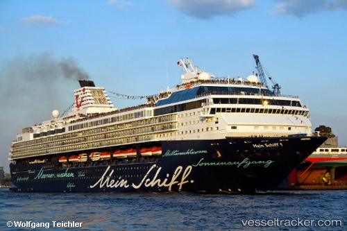
 Marella Explorer
Current Status
Where is the vessel?
Marella Explorer is currently in 45 nm SE of PENISCOLA, based on AIS data received less than 1h ago.
Latest AIS update:
Current position: 39.92622° N, 1.21127° E (45 nm SE of PENISCOLA)
Average speed (last 7 days): Loading…
Average speed (last 30 days): Loading…
Vessel profile: Marella Explorer is a Cruise Ship with dimensions 262m x 32m.
This page combines live AIS, route history, probable destination signals, nearby traffic, and port activity for practical vessel monitoring.
The current position of vessel Marella Explorer is 39.92622 lat / 1.21127 lng. Updated: 2026-05-14 21:52:59 UTCNearest reference points:
- 43 nm SE of PENISCOLA
- 24 nm SW of Sampedor
- 18 nm NW of Sant Antoni de Portmany
Currently sailing under the flag of Malta ![]()
Marella Explorer built in 1996 year
Deadweight:
6500 tDetails:
Live Vessel Marella Explorer Analytics (details, animations, etc.)
Recent AIS points (UTC):
2026-05-14 17:24:59 UTC · 41.08040, 2.04448 · SOG 18.9 kn · COG 210°2026-05-14 19:43:16 UTC · 40.44832, 1.60015 · SOG 18.4 kn · COG 209°
2026-05-14 20:03:23 UTC · 40.35720, 1.53402 · SOG 18.9 kn · COG 209°
2026-05-14 21:52:59 UTC · 39.92622, 1.21127 · SOG 14.8 kn · COG 204°