 NICOS TOMASOS
Current Status
Where is the vessel?
NICOS TOMASOS is currently in Near Corinto, based on AIS data received about 19h ago.
Latest AIS update:
Current position: 12.50155° N, 87.29690° W (Near Corinto)
Average speed (last 7 days): Loading…
Average speed (last 30 days): Loading…
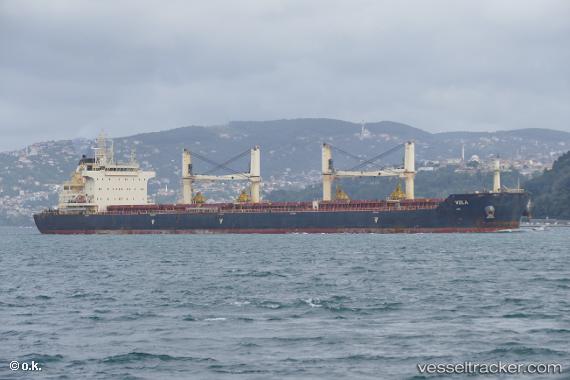
Vessel profile: NICOS TOMASOS is a Cargo with dimensions m x m.
This page combines live AIS, route history, probable destination signals, nearby traffic, and port activity for practical vessel monitoring.
The current position of vessel NICOS TOMASOS is 12.50155 lat / -87.29690 lng. Updated: 2026-07-12 08:05:23 UTCNearest reference points:
- Near El Salvador
- 27 nm W of Playa Conchal
- Near Golfo de Papagayo
Currently sailing under the flag of Malta ![]()
Details:
Live Vessel NICOS TOMASOS Analytics (details, animations, etc.)
Recent AIS points (UTC):
2026-07-12 08:05:23 UTC · 12.50155, -87.29690 · SOG 0.1 kn · COG 141°2026-07-12 08:05:23 UTC · 12.50155, -87.29690 · SOG 0.1 kn · COG 141°
2026-07-12 08:05:23 UTC · 12.50155, -87.29690 · SOG 0.1 kn · COG 141°
2026-07-12 08:05:23 UTC · 12.50155, -87.29690 · SOG 0.1 kn · COG 141°