 vesseltracker.com
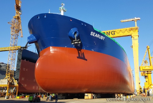
Searuby
Current StatusWhere is the vessel?
Searuby is currently in 60 nm S of Siguanea, based on AIS data received less than 1h ago.
Latest AIS update:
Current position: 20.63833° N, 83.19167° W (60 nm S of Siguanea)
Average speed (last 7 days): Loading…
Average speed (last 30 days): Loading…
Vessel profile: Searuby is a Crude Oil Tanker with dimensions 44m x 250m.
This page combines live AIS, route history, probable destination signals, nearby traffic, and port activity for practical vessel monitoring.
The current position of vessel Searuby is 20.63833 lat / -83.19167 lng. Updated: 2026-05-14 07:57:55 UTCNearest reference points:
- 58 nm S of San Julian
- Near Georgetown, Grand Cayman
- Near Mariel
Details:
Live Vessel Searuby Analytics (details, animations, etc.)
Recent AIS points (UTC):
2026-05-14 04:18:53 UTC · 20.32833, -82.47667 · SOG 12 kn · COG -1°2026-05-14 06:18:53 UTC · 20.49667, -82.87833 · SOG 12 kn · COG -1°
2026-05-14 07:48:53 UTC · 20.62667, -83.16333 · SOG 11 kn · COG -1°
2026-05-14 07:57:55 UTC · 20.63833, -83.19167 · SOG 11 kn · COG -1°