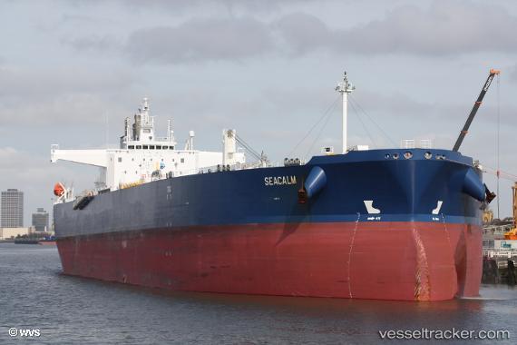
 SEACALM
Current Status
Where is the vessel?
SEACALM is currently in 160 nm NE of Munshiganj, based on AIS data received about 15h ago.
Latest AIS update:
Current position: 24.83297° N, 87.96407° W (160 nm NE of Munshiganj)
Average speed (last 7 days): Loading…
Average speed (last 30 days): Loading…
Vessel profile: SEACALM is a Tanker A with dimensions m x m.
This page combines live AIS, route history, probable destination signals, nearby traffic, and port activity for practical vessel monitoring.
The current position of vessel SEACALM is 24.83297 lat / -87.96407 lng. Updated: 2026-06-17 11:37:30 UTCCurrently sailing under the flag of Malta ![]()
Details:
Live Vessel SEACALM Analytics (details, animations, etc.)
Recent AIS points (UTC):
2026-06-17 08:25:31 UTC · 24.97510, -88.61208 · SOG 11.4 kn · COG 107°2026-06-17 09:55:21 UTC · 24.91229, -88.30998 · SOG 11.3 kn · COG 108°
2026-06-17 10:36:21 UTC · 24.87877, -88.17190 · SOG 11.6 kn · COG 106°
2026-06-17 11:37:30 UTC · 24.83297, -87.96407 · SOG 11.3 kn · COG 107°