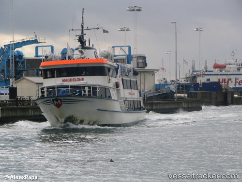
Andrea
Current StatusWhere is the vessel?
Andrea is currently in Near Reykjavik, based on AIS data received about 16h ago.
Latest AIS update:
Current position: 64.15100° N, 21.94242° W (Near Reykjavik)
Average speed (last 7 days): Loading…
Average speed (last 30 days): Loading…
Vessel profile: Andrea is a Passenger Ship with dimensions 8m x 34m.
This page combines live AIS, route history, probable destination signals, nearby traffic, and port activity for practical vessel monitoring.
The current position of vessel Andrea is 64.15100 lat / -21.94242 lng. Updated: 2026-05-22 20:16:11 UTCNearest reference points:
- Near Reykjavik
- Near KOPAVOGUR
- Near HAFNARFJORDUR
Details:
Live Vessel Andrea Analytics (details, animations, etc.)
Recent AIS points (UTC):
2026-05-22 16:21:22 UTC · 64.15098, -21.94242 · SOG 0.1 kn · COG 230°2026-05-22 18:08:31 UTC · 64.21653, -22.28505 · SOG 11.3 kn · COG 306°
2026-05-22 19:41:11 UTC · 64.18180, -22.01450 · SOG 11.9 kn · COG 80°
2026-05-22 20:16:11 UTC · 64.15100, -21.94242 · SOG 0.1 kn · COG 228°