 ELEKTRA
Current Status
Where is the vessel?
ELEKTRA is currently in Open sea, approx. 443 nm off the nearest listed port, based on AIS data received about 15h ago.
Latest AIS update:
Current position: 2.82683° S, 7.85853° W (Open sea, approx. 443 nm off the nearest listed port)
Average speed (last 7 days): Loading…
Average speed (last 30 days): Loading…
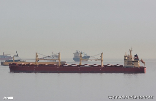
Vessel profile: ELEKTRA is a Cargo with dimensions m x m.
This page combines live AIS, route history, probable destination signals, nearby traffic, and port activity for practical vessel monitoring.
The current position of vessel ELEKTRA is -2.82683 lat / -7.85853 lng. Updated: 2026-05-22 08:09:05 UTCNearest reference points:
- Open sea, approx. 443 nm off the nearest listed port
- Open sea, approx. 444 nm off the nearest listed port
- Open sea, approx. 441 nm off the nearest listed port
Details:
Live Vessel ELEKTRA Analytics (details, animations, etc.)
Recent AIS points (UTC):
2026-05-22 04:25:53 UTC · -2.27902, -8.24046 · SOG 11.1 kn · COG 142°2026-05-22 05:46:59 UTC · -2.47778, -8.10135 · SOG 10.8 kn · COG 142°
2026-05-22 07:28:23 UTC · -2.72704, -7.92945 · SOG 10.7 kn · COG 140°
2026-05-22 08:09:05 UTC · -2.82683, -7.85853 · SOG 10.9 kn · COG 140°