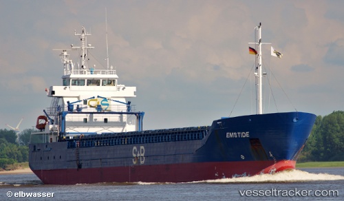
Estemar
Current StatusWhere is the vessel?
Estemar is currently in 17 nm SE of Muskö, based on AIS data received about 14h ago.
Latest AIS update:
Current position: 58.72899° N, 18.42347° E (17 nm SE of Muskö)
Average speed (last 7 days): Loading…
Average speed (last 30 days): Loading…
Vessel profile: Estemar is a Multi Purpose Carrier with dimensions 14m x 99m.
This page combines live AIS, route history, probable destination signals, nearby traffic, and port activity for practical vessel monitoring.
The current position of vessel Estemar is 58.72899 lat / 18.42347 lng. Updated: 2026-05-25 00:06:15 UTCNearest reference points:
- Near Gustavsvik/Stockholm
- Near Bergs oljehamn
- Near Värmdö
Details:
Live Vessel Estemar Analytics (details, animations, etc.)
Recent AIS points (UTC):
2026-05-24 20:07:14 UTC · 58.65527, 17.12139 · SOG 4.9 kn · COG 142°2026-05-24 22:14:54 UTC · 58.64514, 17.81982 · SOG 10.3 kn · COG 83°
2026-05-24 22:26:45 UTC · 58.64958, 17.88460 · SOG 10.4 kn · COG 83°
2026-05-25 00:06:15 UTC · 58.72899, 18.42347 · SOG 10.8 kn · COG 72°