 Sider Rodi
Current Status
Where is the vessel?
Sider Rodi is currently in Near Genova, based on AIS data received about 14h ago.
Latest AIS update:
Current position: 44.38817° N, 8.92250° E (Near Genova)
Average speed (last 7 days): Loading…
Average speed (last 30 days): Loading…
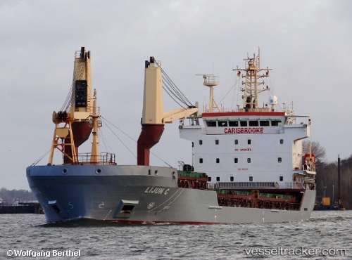
Vessel profile: Sider Rodi is a Multi Purpose Carrier with dimensions 108m x 108m.
This page combines live AIS, route history, probable destination signals, nearby traffic, and port activity for practical vessel monitoring.
The current position of vessel Sider Rodi is 44.38817 lat / 8.92250 lng. Updated: 2026-06-13 10:24:37 UTCNearest reference points:
- Near Genova
- Near Sestri Ponente
- Near Multedo
Currently sailing under the flag of Portugal ![]()
Sider Rodi built in 2010 year
Deadweight:
8069 tDetails:
Live Vessel Sider Rodi Analytics (details, animations, etc.)
Recent AIS points (UTC):
2026-06-13 08:06:37 UTC · 44.38817, 8.92250 · SOG 0 kn · COG 199°2026-06-13 08:27:36 UTC · 44.38817, 8.92250 · SOG 0 kn · COG 199°
2026-06-13 09:42:35 UTC · 44.38817, 8.92250 · SOG 0 kn · COG 198°
2026-06-13 10:24:37 UTC · 44.38817, 8.92250 · SOG 0 kn · COG 198°