 vesseltracker.com
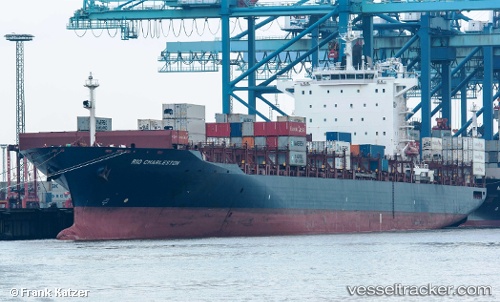
 RIO CHARLESTON
Current Status
Where is the vessel?
RIO CHARLESTON is currently in Near New Priok Port, based on AIS data received less than 1h ago.
Latest AIS update:
Current position: 6.09500° S, 106.91833° E (Near New Priok Port)
Average speed (last 7 days): Loading…
Average speed (last 30 days): Loading…
Vessel profile: RIO CHARLESTON is a Container Ship with dimensions 32m x 261m.
This page combines live AIS, route history, probable destination signals, nearby traffic, and port activity for practical vessel monitoring.
The current position of vessel RIO CHARLESTON is -6.09500 lat / 106.91833 lng. Updated: 2026-05-16 13:50:12 UTCNearest reference points:
- Near Jakarta
- Near New Priok Port
- Near Ancol
Currently sailing under the flag of Portugal (MAR) ![]()
RIO CHARLESTON built in 2008 year
Deadweight:
55301 tDetails:
Live Vessel RIO CHARLESTON Analytics (details, animations, etc.)
Recent AIS points (UTC):
2026-05-16 10:27:58 UTC · -6.05149, 106.87965 · SOG 6.1 kn · COG 175°2026-05-16 12:23:13 UTC · -6.09500, 106.91833 · SOG 0 kn · COG -1°
2026-05-16 13:37:35 UTC · -6.09612, 106.91946 · SOG 0 kn · COG 180°
2026-05-16 13:50:12 UTC · -6.09500, 106.91833 · SOG 0 kn · COG -1°