 BARTOK
Current Status
Where is the vessel?
BARTOK is currently in Near Pijp Tabak, based on AIS data received about 15h ago.
Latest AIS update:
Current position: 51.24667° N, 4.35500° E (Near Pijp Tabak)
Average speed (last 7 days): Loading…
Average speed (last 30 days): Loading…
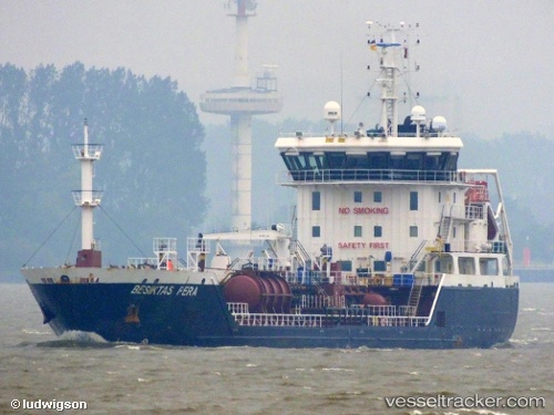
Vessel profile: BARTOK is a Oil/Chemical Tanker with dimensions m x m.
This page combines live AIS, route history, probable destination signals, nearby traffic, and port activity for practical vessel monitoring.
The current position of vessel BARTOK is 51.24667 lat / 4.35500 lng. Updated: 2026-07-17 05:31:14 UTCNearest reference points:
- Near Antwerp
- Near Kruibeke
- Near Kallo
Currently sailing under the flag of Portugal ![]()
Details:
Live Vessel BARTOK Analytics (details, animations, etc.)
Recent AIS points (UTC):
2026-07-17 02:17:24 UTC · 51.24788, 4.35548 · SOG 0 kn · COG 271°2026-07-17 03:20:25 UTC · 51.24791, 4.35551 · SOG 0 kn · COG 271°
2026-07-17 05:05:27 UTC · 51.24789, 4.35550 · SOG 0 kn · COG 270°
2026-07-17 05:31:14 UTC · 51.24667, 4.35500 · SOG 0 kn · COG -1°