 vesseltracker.com
 VALPIAVE
Current Status
Where is the vessel?
VALPIAVE is currently in 17 nm E of Il-Kappara, based on AIS data received less than 1h ago.
Latest AIS update:
Current position: 35.88107° N, 14.91462° E (17 nm E of Il-Kappara)
Average speed (last 7 days): Loading…
Average speed (last 30 days): Loading…
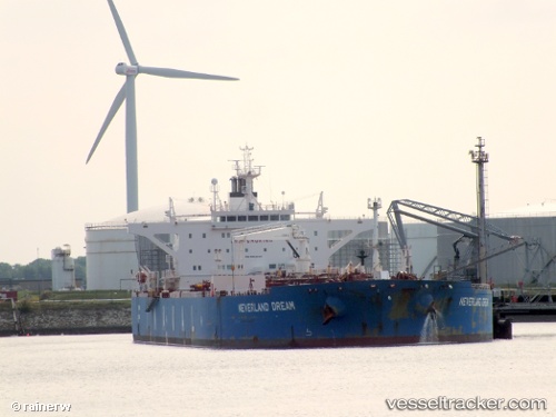
Vessel profile: VALPIAVE is a Crude Oil Tanker with dimensions 249m x 44m.
This page combines live AIS, route history, probable destination signals, nearby traffic, and port activity for practical vessel monitoring.
The current position of vessel VALPIAVE is 35.88107 lat / 14.91462 lng. Updated: 2026-05-12 19:22:40 UTCNearest reference points:
- 13 nm E of Il-Kappara
- 18 nm E of Il-Kappara
- Near Xghajra
Currently sailing under the flag of Malta ![]()
VALPIAVE built in 2010 year
Deadweight:
115909 tDetails:
Live Vessel VALPIAVE Analytics (details, animations, etc.)
Recent AIS points (UTC):
2026-05-12 15:42:37 UTC · 36.25448, 15.25868 · SOG 10.6 kn · COG 208°2026-05-12 17:01:57 UTC · 36.02745, 15.14715 · SOG 11.3 kn · COG 203°
2026-05-12 18:09:08 UTC · 35.88880, 14.99431 · SOG 7.9 kn · COG 264°
2026-05-12 19:22:40 UTC · 35.88107, 14.91462 · SOG 0.3 kn · COG 330°