 vesseltracker.com
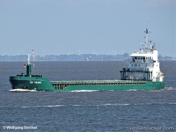
 Feed Helgeland
Current Status
Where is the vessel?
Feed Helgeland is currently in 15 nm SW of Vrångö, based on AIS data received about 1h ago.
Latest AIS update:
Current position: 57.44033° N, 11.39052° E (15 nm SW of Vrångö)
Average speed (last 7 days): Loading…
Average speed (last 30 days): Loading…
Vessel profile: Feed Helgeland is a Multi Purpose Carrier with dimensions 90m x 13m.
This page combines live AIS, route history, probable destination signals, nearby traffic, and port activity for practical vessel monitoring.
The current position of vessel Feed Helgeland is 57.44033 lat / 11.39052 lng. Updated: 2026-04-28 23:23:27 UTCNearest reference points:
- 12 nm SW of Vrångö
- 11 nm SW of Vrångö
- 19 nm E of Sæby
Currently sailing under the flag of Norway ![]()
Feed Helgeland built in 1999 year
Deadweight:
4934 tDetails:
Live Vessel Feed Helgeland Analytics (details, animations, etc.)
Recent AIS points (UTC):
2026-04-28 19:29:06 UTC · 57.80956, 10.55005 · SOG 10.1 kn · COG 91°2026-04-28 21:52:56 UTC · 57.62411, 11.12026 · SOG 9.2 kn · COG -1°
2026-04-28 23:04:36 UTC · 57.48034, 11.33499 · SOG 9.5 kn · COG 140°
2026-04-28 23:23:27 UTC · 57.44033, 11.39052 · SOG 9.9 kn · COG 156°