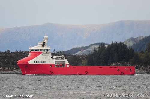
 Rem Eir
Current Status
Where is the vessel?
Rem Eir is currently in 14 nm NW of Gjoa, based on AIS data received about 14h ago.
Latest AIS update:
Current position: 61.48184° N, 3.58489° E (14 nm NW of Gjoa)
Average speed (last 7 days): Loading…
Average speed (last 30 days): Loading…
Vessel profile: Rem Eir is a Offshore Tug Supply Ship with dimensions 93m x 93m.
This page combines live AIS, route history, probable destination signals, nearby traffic, and port activity for practical vessel monitoring.
The current position of vessel Rem Eir is 61.48184 lat / 3.58489 lng. Updated: 2026-05-22 21:40:49 UTCNearest reference points:
- Near Solund
- Near Eivindvik
- Near MALOY
Currently sailing under the flag of Norway ![]()
Details:
Live Vessel Rem Eir Analytics (details, animations, etc.)
Recent AIS points (UTC):
2026-05-22 17:31:19 UTC · 61.61555, 4.98492 · SOG 9.9 kn · COG 224°2026-05-22 19:23:29 UTC · 61.51515, 4.45205 · SOG 9.2 kn · COG 267°
2026-05-22 20:00:40 UTC · 61.52169, 4.21784 · SOG 11.3 kn · COG 270°
2026-05-22 21:40:49 UTC · 61.48184, 3.58489 · SOG 11 kn · COG 270°