 vesseltracker.com
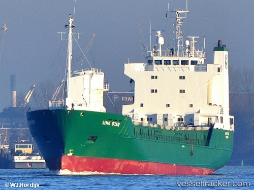
 LINK STAR
Current Status
Where is the vessel?
LINK STAR is currently in Near Stigsnaes Inter Terminal, based on AIS data received less than 1h ago.
Latest AIS update:
Current position: 55.17296° N, 11.20328° E (Near Stigsnaes Inter Terminal)
Average speed (last 7 days): Loading…
Average speed (last 30 days): Loading…
Vessel profile: LINK STAR is a Ro-Ro Cargo Ship with dimensions 107m x 17m.
This page combines live AIS, route history, probable destination signals, nearby traffic, and port activity for practical vessel monitoring.
The current position of vessel LINK STAR is 55.17296 lat / 11.20328 lng. Updated: 2026-04-28 06:09:26 UTCNearest reference points:
- Near Lindholm Havn
- Near Lundeborg
- Near SPODSBJERG
Currently sailing under the flag of Norway (NIS) ![]()
LINK STAR built in 1989 year
Deadweight:
4453 tDetails:
Live Vessel LINK STAR Analytics (details, animations, etc.)
Recent AIS points (UTC):
2026-04-28 02:24:56 UTC · 55.62787, 10.78357 · SOG 9.1 kn · COG 160°2026-04-28 04:00:25 UTC · 55.40957, 10.96801 · SOG 9.8 kn · COG 143°
2026-04-28 04:49:57 UTC · 55.30164, 11.03948 · SOG 8.5 kn · COG 154°
2026-04-28 06:09:26 UTC · 55.17296, 11.20328 · SOG 8.1 kn · COG 145°