 NORTH GATE
Current Status
Where is the vessel?
NORTH GATE is currently in 23 nm NE of Skikda, based on AIS data received about 14h ago.
Latest AIS update:
Current position: 37.23602° N, 7.12649° E (23 nm NE of Skikda)
Average speed (last 7 days): Loading…
Average speed (last 30 days): Loading…
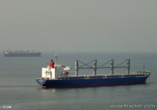
Vessel profile: NORTH GATE is a General Cargo with dimensions m x m.
This page combines live AIS, route history, probable destination signals, nearby traffic, and port activity for practical vessel monitoring.
The current position of vessel NORTH GATE is 37.23602 lat / 7.12649 lng. Updated: 2026-07-26 13:48:15 UTCNearest reference points:
- Near Skikid
- Near Annaba
- Near Carmona
Currently sailing under the flag of San Marino ![]()
Details:
Live Vessel NORTH GATE Analytics (details, animations, etc.)
Recent AIS points (UTC):
2026-07-26 10:15:39 UTC · 36.88788, 6.91036 · SOG 0 kn · COG 117°2026-07-26 11:42:56 UTC · 36.89146, 6.90018 · SOG 4.2 kn · COG 310°
2026-07-26 13:43:15 UTC · 37.22068, 7.11302 · SOG 13.3 kn · COG 26°
2026-07-26 13:48:15 UTC · 37.23602, 7.12649 · SOG 13.6 kn · COG 42°