 MIA
MIA
Current Status
Where is the vessel?
MIA is currently in 26 nm SE of Ballito Bay, based on AIS data received about 14h ago.
Latest AIS update:
Current position: 29.71220° S, 31.66126° E (26 nm SE of Ballito Bay)
Average speed (last 7 days): Loading…
Average speed (last 30 days): Loading…
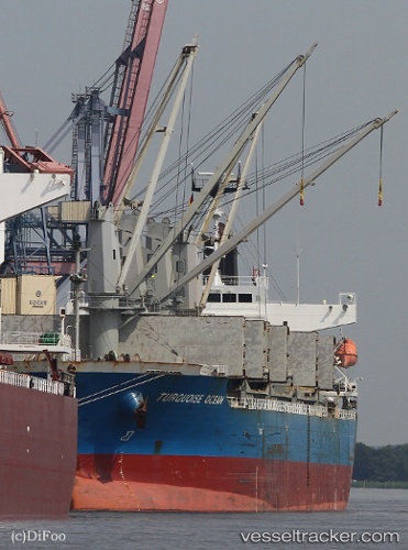
Vessel profile: MIA is a Bulk Carrier with dimensions m x m.
This page combines live AIS, route history, probable destination signals, nearby traffic, and port activity for practical vessel monitoring.
The current position of vessel MIA is -29.71220 lat / 31.66126 lng. Updated: 2026-05-20 13:03:43 UTCNearest reference points:
- Near Umhlanga Rocks
- Near Durban
- Near Island View
Currently sailing under the flag of San Marino ![]()
Details:
Live Vessel MIA Analytics (details, animations, etc.)
Recent AIS points (UTC):
2026-05-20 10:14:52 UTC · -29.91702, 31.18910 · SOG 0.9 kn · COG 117°2026-05-20 10:16:43 UTC · -29.91682, 31.18870 · SOG 0.9 kn · COG 111°
2026-05-20 11:37:34 UTC · -29.83958, 31.35718 · SOG 11.6 kn · COG 67°
2026-05-20 13:03:43 UTC · -29.71220, 31.66126 · SOG 11.5 kn · COG 68°