 LUCIA A
Current Status
Where is the vessel?
LUCIA A is currently in 50 nm NE of Port Sultan, based on AIS data received about 15h ago.
Latest AIS update:
Current position: 24.31731° N, 59.11106° E (50 nm NE of Port Sultan)
Average speed (last 7 days): Loading…
Average speed (last 30 days): Loading…
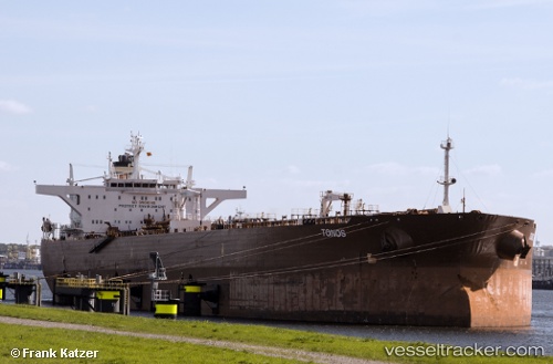
Vessel profile: LUCIA A is a Crude Oil Tanker with dimensions m x m.
This page combines live AIS, route history, probable destination signals, nearby traffic, and port activity for practical vessel monitoring.
The current position of vessel LUCIA A is 24.31731 lat / 59.11106 lng. Updated: 2026-05-20 07:43:28 UTCNearest reference points:
- 58 nm S of JASK
- 59 nm S of Chah Bahar
- 23 nm NE of Qalhat
Currently sailing under the flag of San Marino ![]()
Details:
Live Vessel LUCIA A Analytics (details, animations, etc.)
Recent AIS points (UTC):
2026-05-20 03:55:05 UTC · 24.18676, 59.17378 · SOG 1 kn · COG 81°2026-05-20 06:13:30 UTC · 24.21453, 59.20472 · SOG 1.2 kn · COG 84°
2026-05-20 07:43:28 UTC · 24.31731, 59.11106 · SOG 2.9 kn · COG 296°
2026-05-20 07:43:28 UTC · 24.31731, 59.11106 · SOG 2.9 kn · COG 296°