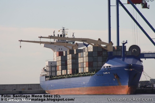
 Claire A
Current Status
Where is the vessel?
Claire A is currently in Near EL DEKHEILA, based on AIS data received about 15h ago.
Latest AIS update:
Current position: 31.20563° N, 29.75043° E (Near EL DEKHEILA)
Average speed (last 7 days): Loading…
Average speed (last 30 days): Loading…
Vessel profile: Claire A is a Container Ship with dimensions 185m x 24m.
This page combines live AIS, route history, probable destination signals, nearby traffic, and port activity for practical vessel monitoring.
The current position of vessel Claire A is 31.20563 lat / 29.75043 lng. Updated: 2026-05-22 04:14:04 UTCNearest reference points:
- Near EL DEKHEILA
- Near Alexandria
- 13 nm W of EL DEKHEILA
Currently sailing under the flag of Turkey ![]()
Claire A built in 2008 year
Deadweight:
22028 tDetails:
Live Vessel Claire A Analytics (details, animations, etc.)
Recent AIS points (UTC):
2026-05-22 01:11:04 UTC · 31.20497, 29.75064 · SOG 0.1 kn · COG 279°2026-05-22 02:05:06 UTC · 31.20500, 29.75057 · SOG 0 kn · COG 285°
2026-05-22 03:29:03 UTC · 31.20525, 29.75055 · SOG 0 kn · COG 280°
2026-05-22 04:14:04 UTC · 31.20563, 29.75043 · SOG 0 kn · COG 269°