 DENAK D
Current Status
Where is the vessel?
DENAK D is currently in Near ESKIHISAR, based on AIS data received about 14h ago.
Latest AIS update:
Current position: 40.76684° N, 29.47442° E (Near ESKIHISAR)
Average speed (last 7 days): Loading…
Average speed (last 30 days): Loading…
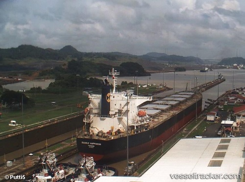
Vessel profile: DENAK D is a Bulk Carrier with dimensions m x m.
This page combines live AIS, route history, probable destination signals, nearby traffic, and port activity for practical vessel monitoring.
The current position of vessel DENAK D is 40.76684 lat / 29.47442 lng. Updated: 2026-07-17 07:20:54 UTCNearest reference points:
- Near YALOVA
- Near Yilport
- Near Diliskelesi
Currently sailing under the flag of Turkey ![]()
Details:
Live Vessel DENAK D Analytics (details, animations, etc.)
Recent AIS points (UTC):
2026-07-17 03:27:14 UTC · 40.72261, 29.29767 · SOG 10.2 kn · COG 91°2026-07-17 04:55:53 UTC · 40.76545, 29.47541 · SOG 0.8 kn · COG 45°
2026-07-17 06:20:52 UTC · 40.76680, 29.47435 · SOG 0.1 kn · COG 82°
2026-07-17 07:20:54 UTC · 40.76684, 29.47442 · SOG 0 kn · COG 88°