 Amira
Amira
Current Status
Where is the vessel?
Amira is currently in Near Famagusta, based on AIS data received about 14h ago.
Latest AIS update:
Current position: 35.13117° N, 33.94181° E (Near Famagusta)
Average speed (last 7 days): Loading…
Average speed (last 30 days): Loading…
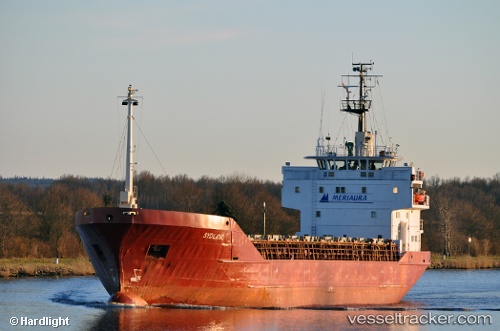
Vessel profile: Amira is a Multi Purpose Carrier with dimensions 80m x 81m.
This page combines live AIS, route history, probable destination signals, nearby traffic, and port activity for practical vessel monitoring.
The current position of vessel Amira is 35.13117 lat / 33.94181 lng. Updated: 2026-05-25 16:00:39 UTCNearest reference points:
- Near Larnaca
- 17 nm S of Vasilikos
- 31 nm SE of Vasilikos
Currently sailing under the flag of Turkey ![]()
Amira built in 1981 year
Deadweight:
2574 tDetails:
Live Vessel Amira Analytics (details, animations, etc.)
Recent AIS points (UTC):
2026-05-25 13:06:40 UTC · 35.13116, 33.94184 · SOG 0 kn · COG -1°2026-05-25 14:03:40 UTC · 35.13116, 33.94183 · SOG 0 kn · COG -1°
2026-05-25 15:33:41 UTC · 35.13117, 33.94182 · SOG 0 kn · COG -1°
2026-05-25 16:00:39 UTC · 35.13117, 33.94181 · SOG 0 kn · COG -1°