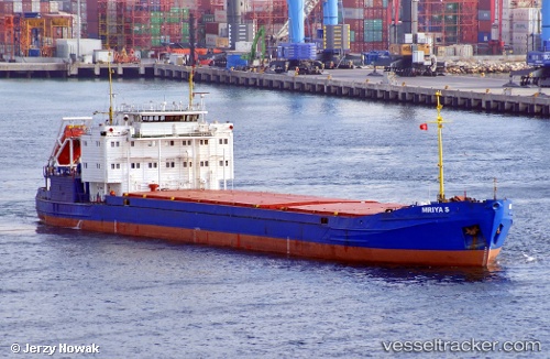
 Mriya S
Current Status
Where is the vessel?
Mriya S is currently in Near YALOVA, based on AIS data received about 60d ago.
Latest AIS update:
Current position: 40.72448° N, 29.46164° E (Near YALOVA)
Average speed (last 7 days): Loading…
Average speed (last 30 days): Loading…
Vessel profile: Mriya S is a General Cargo Ship with dimensions 105m x 16m.
This page combines live AIS, route history, probable destination signals, nearby traffic, and port activity for practical vessel monitoring.
The current position of vessel Mriya S is 40.72448 lat / 29.46164 lng. Updated: 2026-04-24 18:49:26 UTCNearest reference points:
- Near YALOVA
- Near Yilport
- Near Diliskelesi
Currently sailing under the flag of St Vincent Grenadines ![]()
Mriya S built in 1992 year
Deadweight:
3983 tDetails:
Live Vessel Mriya S Analytics (details, animations, etc.)
Recent AIS points (UTC):
2026-04-24 18:49:26 UTC · 40.72448, 29.46164 · SOG 9 kn · COG 74°