 vesseltracker.com
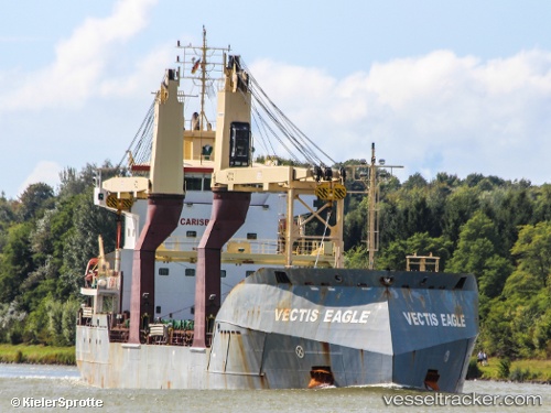
 MARTINA
Current Status
Where is the vessel?
MARTINA is currently in Near Casablanca, based on AIS data received less than 1h ago.
Latest AIS update:
Current position: 33.64200° N, 7.60459° W (Near Casablanca)
Average speed (last 7 days): Loading…
Average speed (last 30 days): Loading…
Vessel profile: MARTINA is a General Cargo Ship with dimensions 17m x 110m.
This page combines live AIS, route history, probable destination signals, nearby traffic, and port activity for practical vessel monitoring.
The current position of vessel MARTINA is 33.64200 lat / -7.60459 lng. Updated: 2026-04-17 22:16:50 UTCNearest reference points:
- Near Mohammedia
- Near Jorf Lasfar
- 54 nm N of El Jadida
Currently sailing under the flag of Antigua and Barbuda ![]()
MARTINA built in 2012 year
Deadweight:
8564 tDetails:
Live Vessel MARTINA Analytics (details, animations, etc.)
Recent AIS points (UTC):
2026-04-17 15:52:42 UTC · 33.64223, -7.60551 · SOG 0.8 kn · COG 37°2026-04-17 17:36:03 UTC · 33.64167, -7.60500 · SOG 0 kn · COG -1°
2026-04-17 19:55:47 UTC · 33.64252, -7.60569 · SOG 0.5 kn · COG 68°
2026-04-17 22:16:50 UTC · 33.64200, -7.60459 · SOG 0.3 kn · COG 358°