 vesseltracker.com
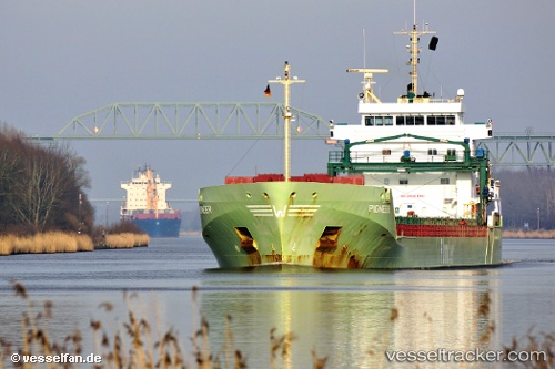
 KAIE
KAIE
Current Status
Where is the vessel?
KAIE is currently in Near Kilronan, based on AIS data received less than 1h ago.
Latest AIS update:
Current position: 52.59875° N, 9.54881° W (Near Kilronan)
Average speed (last 7 days): Loading…
Average speed (last 30 days): Loading…
Vessel profile: KAIE is a General Cargo Ship with dimensions 133m x 16m.
This page combines live AIS, route history, probable destination signals, nearby traffic, and port activity for practical vessel monitoring.
The current position of vessel KAIE is 52.59875 lat / -9.54881 lng. Updated: 2026-05-14 22:22:42 UTCNearest reference points:
- Near Tarbert Island
- Near CASTLETOWN BEARHAVEN
- Near Skull
Currently sailing under the flag of Antigua and Barbuda ![]()
KAIE built in 2010 year
Deadweight:
11048 tDetails:
Live Vessel KAIE Analytics (details, animations, etc.)
Recent AIS points (UTC):
2026-05-14 18:07:40 UTC · 52.59797, -9.55330 · SOG 0.3 kn · COG 57°2026-05-14 19:10:41 UTC · 52.59797, -9.55331 · SOG 0.1 kn · COG 52°
2026-05-14 19:49:41 UTC · 52.59854, -9.55304 · SOG 0.2 kn · COG 67°
2026-05-14 22:22:42 UTC · 52.59875, -9.54881 · SOG 0.1 kn · COG 265°