 vesseltracker.com
Frieda
Current StatusWhere is the vessel?
Frieda is currently in 55 nm E of Kualalangsa, based on AIS data received about 1h ago.
Latest AIS update:
Current position: 4.70705° N, 98.92519° E (55 nm E of Kualalangsa)
Average speed (last 7 days): Loading…
Average speed (last 30 days): Loading…
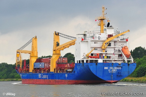
Vessel profile: Frieda is a Heavy Load Carrier with dimensions 21m x 138m.
This page combines live AIS, route history, probable destination signals, nearby traffic, and port activity for practical vessel monitoring.
The current position of vessel Frieda is 4.70705 lat / 98.92519 lng. Updated: 2026-05-15 05:58:36 UTCNearest reference points:
- 43 nm NE of PANGKALAN SUSU
- 43 nm NE of Perbaungan
- Near Belawan
Details:
Live Vessel Frieda Analytics (details, animations, etc.)
Recent AIS points (UTC):
2026-05-15 00:05:30 UTC · 3.85581, 99.93876 · SOG 14.7 kn · COG 311°2026-05-15 03:27:53 UTC · 4.37212, 99.34185 · SOG 13.1 kn · COG 302°
2026-05-15 04:20:02 UTC · 4.49096, 99.19773 · SOG 12.6 kn · COG 311°
2026-05-15 05:58:36 UTC · 4.70705, 98.92519 · SOG 12.8 kn · COG 309°