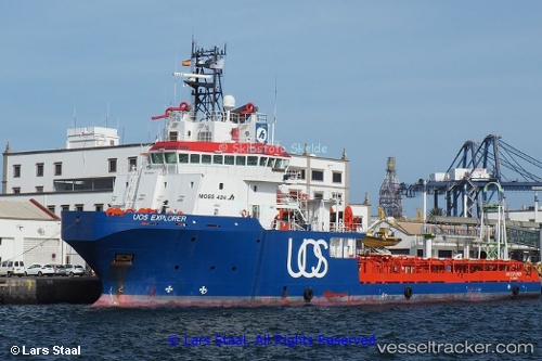
 GH EXPLORER
Current Status
Where is the vessel?
GH EXPLORER is currently in 39 nm S of Capixaba FPSO, based on AIS data received about 14h ago.
Latest AIS update:
Current position: 21.88187° S, 39.85921° W (39 nm S of Capixaba FPSO)
Average speed (last 7 days): Loading…
Average speed (last 30 days): Loading…
Vessel profile: GH EXPLORER is a Anchor Handling Vessel with dimensions m x m.
This page combines live AIS, route history, probable destination signals, nearby traffic, and port activity for practical vessel monitoring.
The current position of vessel GH EXPLORER is -21.88187 lat / -39.85921 lng. Updated: 2026-05-20 11:43:11 UTCNearest reference points:
- Near Capixaba FPSO
- 68 nm SE of Espírito Santo FPSO
- Near Fluminense FPSO
Currently sailing under the flag of Antigua and Barbuda ![]()
Details:
Live Vessel GH EXPLORER Analytics (details, animations, etc.)
Recent AIS points (UTC):
2026-05-20 07:50:02 UTC · -21.86045, -39.86442 · SOG 2.4 kn · COG 33°2026-05-20 09:21:23 UTC · -21.88195, -39.85907 · SOG 0.4 kn · COG 209°
2026-05-20 11:04:04 UTC · -21.88167, -39.85833 · SOG 0 kn · COG -1°
2026-05-20 11:43:11 UTC · -21.88187, -39.85921 · SOG 0.1 kn · COG 197°