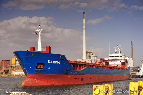
 DAMINA
Current Status
Where is the vessel?
DAMINA is currently in Near Cuxhaven, based on AIS data received about 15h ago.
Latest AIS update:
Current position: 53.87616° N, 8.70596° E (Near Cuxhaven)
Average speed (last 7 days): Loading…
Average speed (last 30 days): Loading…
Vessel profile: DAMINA is a General Cargo with dimensions m x m.
This page combines live AIS, route history, probable destination signals, nearby traffic, and port activity for practical vessel monitoring.
The current position of vessel DAMINA is 53.87616 lat / 8.70596 lng. Updated: 2026-05-21 18:05:59 UTCNearest reference points:
- Near BUESUM
- Near Bremerhaven
- Near Kiel Canal
Currently sailing under the flag of Antigua and Barbuda ![]()
Details:
Live Vessel DAMINA Analytics (details, animations, etc.)
Recent AIS points (UTC):
2026-05-21 14:05:55 UTC · 53.93724, 8.65244 · SOG 13.5 kn · COG 140°2026-05-21 15:57:06 UTC · 53.87616, 8.70595 · SOG 0 kn · COG 326°
2026-05-21 17:06:12 UTC · 53.87615, 8.70593 · SOG 0 kn · COG 326°
2026-05-21 18:05:59 UTC · 53.87616, 8.70596 · SOG 0 kn · COG 326°