 vesseltracker.com
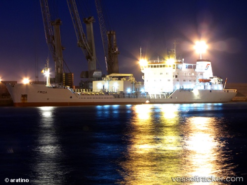
 CEMENT FERRY
Current Status
Where is the vessel?
CEMENT FERRY is currently in 15 nm N of Volissos (Limnia) Chios, based on AIS data received about 1h ago.
Latest AIS update:
Current position: 38.70929° N, 25.85738° E (15 nm N of Volissos (Limnia) Chios)
Average speed (last 7 days): Loading…
Average speed (last 30 days): Loading…
Vessel profile: CEMENT FERRY is a Cement Carrier with dimensions 17m x 118m.
This page combines live AIS, route history, probable destination signals, nearby traffic, and port activity for practical vessel monitoring.
The current position of vessel CEMENT FERRY is 38.70929 lat / 25.85738 lng. Updated: 2026-05-14 19:48:52 UTCNearest reference points:
- Near CESME
- 28 nm NW of Psará
- 29 nm SW of Sigri Lesvou
Currently sailing under the flag of Antigua and Barbuda ![]()
CEMENT FERRY built in 1985 year
Deadweight:
7682 tDetails:
Live Vessel CEMENT FERRY Analytics (details, animations, etc.)
Recent AIS points (UTC):
2026-05-14 16:06:29 UTC · 38.89219, 26.46563 · SOG 7.8 kn · COG 240°2026-05-14 18:18:39 UTC · 38.77566, 26.11326 · SOG 8.8 kn · COG 251°
2026-05-14 19:40:41 UTC · 38.71408, 25.88032 · SOG 8.2 kn · COG 257°
2026-05-14 19:48:52 UTC · 38.70929, 25.85738 · SOG 8.2 kn · COG 257°