 Talia
Talia
Current Status
Where is the vessel?
Talia is currently in 61 nm E of Swan Island, based on AIS data received about 14h ago.
Latest AIS update:
Current position: 17.74167° N, 82.94667° W (61 nm E of Swan Island)
Average speed (last 7 days): Loading…
Average speed (last 30 days): Loading…
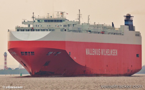
Vessel profile: Talia is a Vehicles Carrier with dimensions 200m x 32m.
This page combines live AIS, route history, probable destination signals, nearby traffic, and port activity for practical vessel monitoring.
The current position of vessel Talia is 17.74167 lat / -82.94667 lng. Updated: 2026-06-16 22:04:31 UTCNearest reference points:
- Near Georgetown, Grand Cayman
Currently sailing under the flag of Bahamas ![]()
Talia built in 2006 year
Deadweight:
21021 tDetails:
Live Vessel Talia Analytics (details, animations, etc.)
Recent AIS points (UTC):
2026-06-16 19:25:30 UTC · 18.36667, -83.26167 · SOG 15 kn · COG -1°2026-06-16 20:04:31 UTC · 18.21167, -83.18667 · SOG 15 kn · COG -1°
2026-06-16 21:55:32 UTC · 17.77667, -82.96333 · SOG 15 kn · COG -1°
2026-06-16 22:04:31 UTC · 17.74167, -82.94667 · SOG 15 kn · COG -1°