 vesseltracker.com
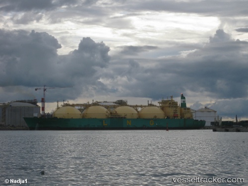
Lng River Niger
Current StatusWhere is the vessel?
Lng River Niger is currently in 58 nm NW of Yaiza, based on AIS data received less than 1h ago.
Latest AIS update:
Current position: 29.52213° N, 14.64660° W (58 nm NW of Yaiza)
Average speed (last 7 days): Loading…
Average speed (last 30 days): Loading…
Vessel profile: Lng River Niger is a Lng Tanker with dimensions 48m x 288m.
This page combines live AIS, route history, probable destination signals, nearby traffic, and port activity for practical vessel monitoring.
The current position of vessel Lng River Niger is 29.52213 lat / -14.64660 lng. Updated: 2026-04-26 10:15:15 UTCNearest reference points:
- 56 nm NW of Caleta de Sebo
- Near LAS COLORADAS
- 58 nm N of Caleta de Sebo
Details:
Live Vessel Lng River Niger Analytics (details, animations, etc.)
Recent AIS points (UTC):
2026-04-26 07:41:58 UTC · 29.34884, -14.84032 · SOG 16.2 kn · COG 44°2026-04-26 08:14:18 UTC · 29.38426, -14.80086 · SOG 16.4 kn · COG 44°
2026-04-26 10:12:32 UTC · 29.51892, -14.65026 · SOG 16.4 kn · COG 43°
2026-04-26 10:15:15 UTC · 29.52213, -14.64660 · SOG 16.4 kn · COG 44°