 DEDE KORKUT
Current Status
Where is the vessel?
DEDE KORKUT is currently in Near JURONG ISLAND, based on AIS data received about 14h ago.
Latest AIS update:
Current position: 1.16814° N, 103.67516° E (Near JURONG ISLAND)
Average speed (last 7 days): Loading…
Average speed (last 30 days): Loading…
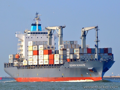
Vessel profile: DEDE KORKUT is a Container Ship with dimensions m x m.
This page combines live AIS, route history, probable destination signals, nearby traffic, and port activity for practical vessel monitoring.
The current position of vessel DEDE KORKUT is 1.16814 lat / 103.67516 lng. Updated: 2026-05-20 04:54:42 UTCNearest reference points:
- Near BUKOM ISLAND
- Near JURONG ISLAND
- Near Pulau Ayer Chawan
Currently sailing under the flag of Bahamas ![]()
Details:
Live Vessel DEDE KORKUT Analytics (details, animations, etc.)
Recent AIS points (UTC):
2026-05-20 02:07:11 UTC · 1.30845, 104.31977 · SOG 14.4 kn · COG 250°2026-05-20 02:19:35 UTC · 1.29596, 104.27097 · SOG 14.7 kn · COG 262°
2026-05-20 03:42:10 UTC · 1.23310, 103.93718 · SOG 14.5 kn · COG 242°
2026-05-20 04:54:42 UTC · 1.16814, 103.67516 · SOG 13.8 kn · COG 301°