 NOBLER
Current Status
Where is the vessel?
NOBLER is currently in Near Port Said, based on AIS data received about 14h ago.
Latest AIS update:
Current position: 31.42349° N, 32.31071° E (Near Port Said)
Average speed (last 7 days): Loading…
Average speed (last 30 days): Loading…
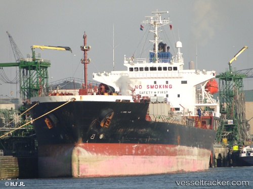
Vessel profile: NOBLER is a Oil/Chemical Tanker with dimensions m x m.
This page combines live AIS, route history, probable destination signals, nearby traffic, and port activity for practical vessel monitoring.
The current position of vessel NOBLER is 31.42349 lat / 32.31071 lng. Updated: 2026-06-27 11:52:37 UTCNearest reference points:
- Near Port Said
- 14 nm N of Port Said
- 15 nm N of Port Said
Currently sailing under the flag of Bahamas ![]()
Details:
Live Vessel NOBLER Analytics (details, animations, etc.)
Recent AIS points (UTC):
2026-06-27 08:19:37 UTC · 31.42380, 32.31091 · SOG 0 kn · COG 294°2026-06-27 10:19:37 UTC · 31.42360, 32.31072 · SOG 0.1 kn · COG 303°
2026-06-27 10:55:37 UTC · 31.42356, 32.31071 · SOG 0.1 kn · COG 313°
2026-06-27 11:52:37 UTC · 31.42349, 32.31071 · SOG 0 kn · COG 312°