 EXCELLENT SELATAN
Current Status
Where is the vessel?
EXCELLENT SELATAN is currently in Near LAMONGAN, based on AIS data received about 2d ago.
Latest AIS update:
Current position: 6.86606° S, 112.42508° E (Near LAMONGAN)
Average speed (last 7 days): Loading…
Average speed (last 30 days): Loading…
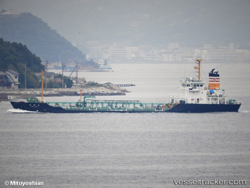
Vessel profile: EXCELLENT SELATAN is a Tanker A with dimensions m x m.
This page combines live AIS, route history, probable destination signals, nearby traffic, and port activity for practical vessel monitoring.
The current position of vessel EXCELLENT SELATAN is -6.86606 lat / 112.42508 lng. Updated: 2026-06-03 03:52:09 UTCNearest reference points:
- Near LAMONGAN
- Near Bangkalan
- Near GRESIK
Currently sailing under the flag of Belize ![]()
Details:
Live Vessel EXCELLENT SELATAN Analytics (details, animations, etc.)
Recent AIS points (UTC):
2026-06-03 03:52:09 UTC · -6.86606, 112.42508 · SOG 0 kn · COG -1°2026-06-03 03:52:09 UTC · -6.86606, 112.42508 · SOG 0 kn · COG -1°
2026-06-03 03:52:09 UTC · -6.86606, 112.42508 · SOG 0 kn · COG -1°
2026-06-03 03:52:09 UTC · -6.86606, 112.42508 · SOG 0 kn · COG -1°